Louisville, KY Tornado History

Overview of Tornado Activity in Louisville
Louisville sits in north-central Kentucky along the Ohio River, a region that occasionally experiences severe weather patterns capable of producing tornadoes. The city lies within a broader corridor of the central and southeastern United States where warm, moisture-rich air from the Gulf of Mexico can interact with cooler air masses from the north.
When these air systems collide—particularly during spring and early summer—they can create conditions favorable for strong thunderstorms and rotating storm systems.
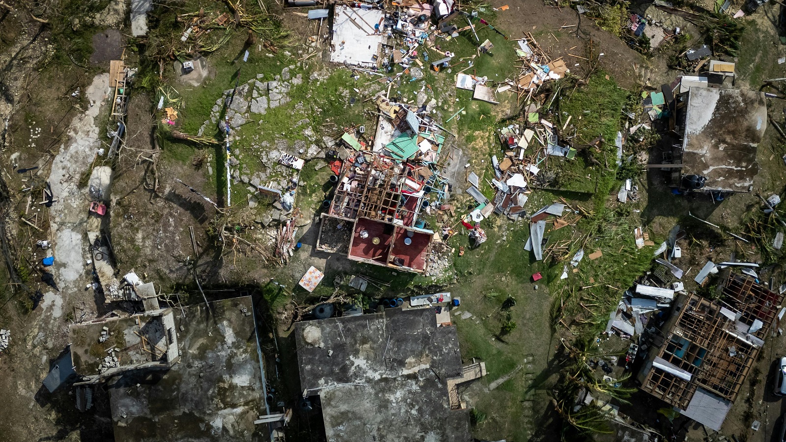
While tornadoes in the Louisville area are not everyday occurrences, the region has experienced several documented events over the decades. As with most of Kentucky, tornado activity is most common during spring, though storms capable of producing tornadoes have been recorded in every season.
Confirmed Tornadoes in the Louisville Area
According to records from the NOAA Storm Events Database, Jefferson County and surrounding counties in the Louisville metropolitan region have experienced multiple confirmed tornadoes since consistent digital reporting began in the early 1990s.
Confirmed tornado records are based on post-storm surveys conducted by meteorologists, which evaluate damage patterns, radar data, and eyewitness reports. These investigations determine whether a tornado occurred and assign an intensity rating using the Enhanced Fujita (EF) scale.
It’s important to note that earlier decades may show fewer documented tornadoes, not necessarily because fewer occurred, but because weather radar technology, survey access, and reporting systems were more limited at the time.
Tornado Warnings Issued in Louisville
Tornado warnings affecting the Louisville region are issued by the National Weather Service office responsible for central Kentucky and southern Indiana. These warnings are triggered when meteorologists detect storm rotation on radar or receive credible reports suggesting a tornado may be forming or already occurring.
Over the past two decades, hundreds of tornado warnings have been issued across the Louisville metro region and surrounding counties.
It’s important to understand that:
- A tornado warning does not guarantee that a tornado has touched down.
- Warnings are issued as a precaution when radar or storm characteristics indicate the potential for tornadic activity.
- Many warnings are issued to provide advance notice so residents can seek shelter before a storm arrives.
Because warnings are issued based on risk indicators, the number of warnings is typically higher than the number of confirmed tornadoes.
Tornado and Warning Trends Over Time in Louisville
Historical weather records show that tornado detection and reporting in the Louisville region have evolved significantly over the past several decades.
- 1990s: Tornado identification relied largely on ground surveys and damage assessments following severe storms. Radar technology existed but had lower resolution than modern systems.
- 2000s: The expansion of Doppler radar networks improved meteorologists’ ability to detect storm rotation earlier, resulting in more timely tornado warnings across Kentucky and Indiana.
- 2010s: Improved radar resolution, better communication systems, and coordinated storm surveys increased the accuracy of tornado confirmations and the speed at which warnings could be delivered to the public.
- 2020s: Modern digital reporting platforms, enhanced radar analysis tools, and mobile alert systems have continued to improve storm tracking, documentation, and public notification.
Changes in tornado warning totals over time often reflect better detection capabilities rather than a direct increase in tornado activity.
Tornado History in Major Kentucky Cities
While tornado data is typically recorded by county rather than city boundaries, several major Kentucky cities have service pages that include localized storm shelter information.
How to Interpret Tornado History Data
When reviewing tornado history information for Louisville and the surrounding region, several important factors should be considered:
- Tornado events are usually recorded at the county level, not strictly within city limits.
- Damage visibility, survey access, and population density can influence whether a tornado is officially confirmed.
- Historical tornado records may be updated or revised as additional data becomes available.
- Tornado warnings represent risk alerts, not confirmed tornado touchdowns.
- Detection technology and reporting systems have improved significantly over time.
Because of these factors, tornado history data should be viewed as a historical reference rather than a complete record of every storm event that may have occurred.
Related Tornado Tools
Frequently Asked Questions

