Storm Mode
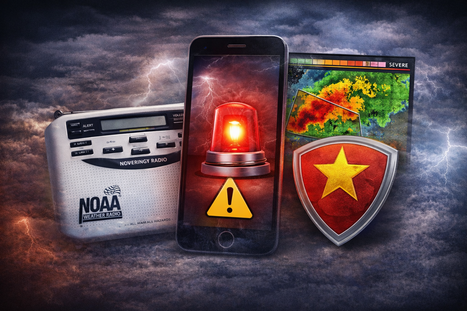
Storm Mode™ provides real-time storm context using official National Weather Service watches, warnings, and radar data.
It is designed to help homeowners understand current severe weather conditions, not to forecast future events.
It is designed to help homeowners understand current severe weather conditions, not to forecast future events.
What Storm Mode Shows
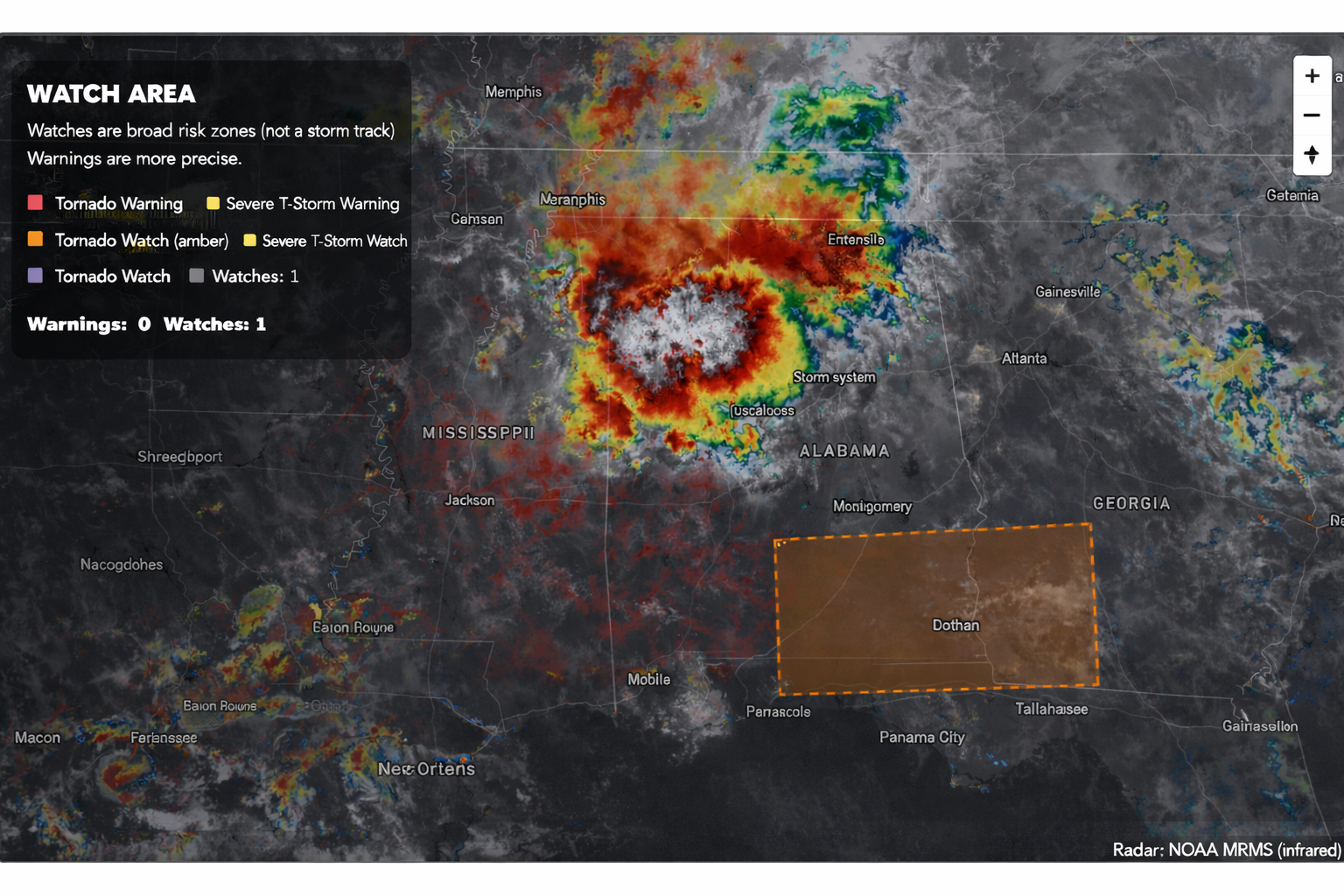
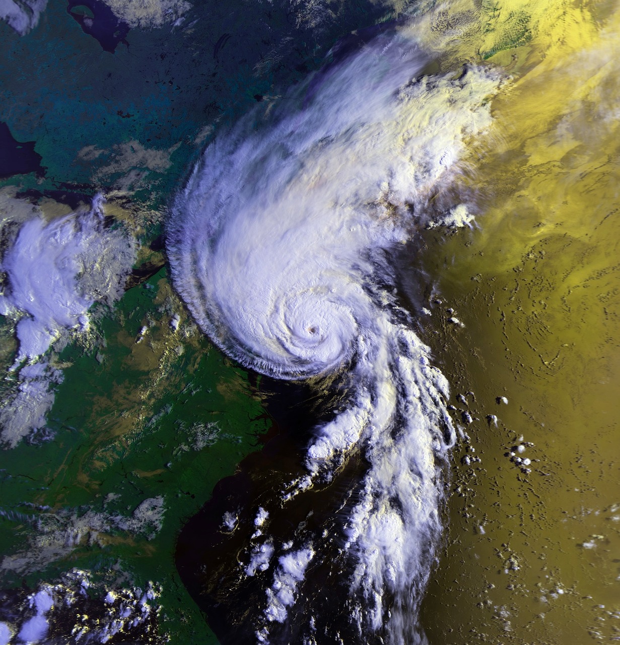
Storm Mode displays:
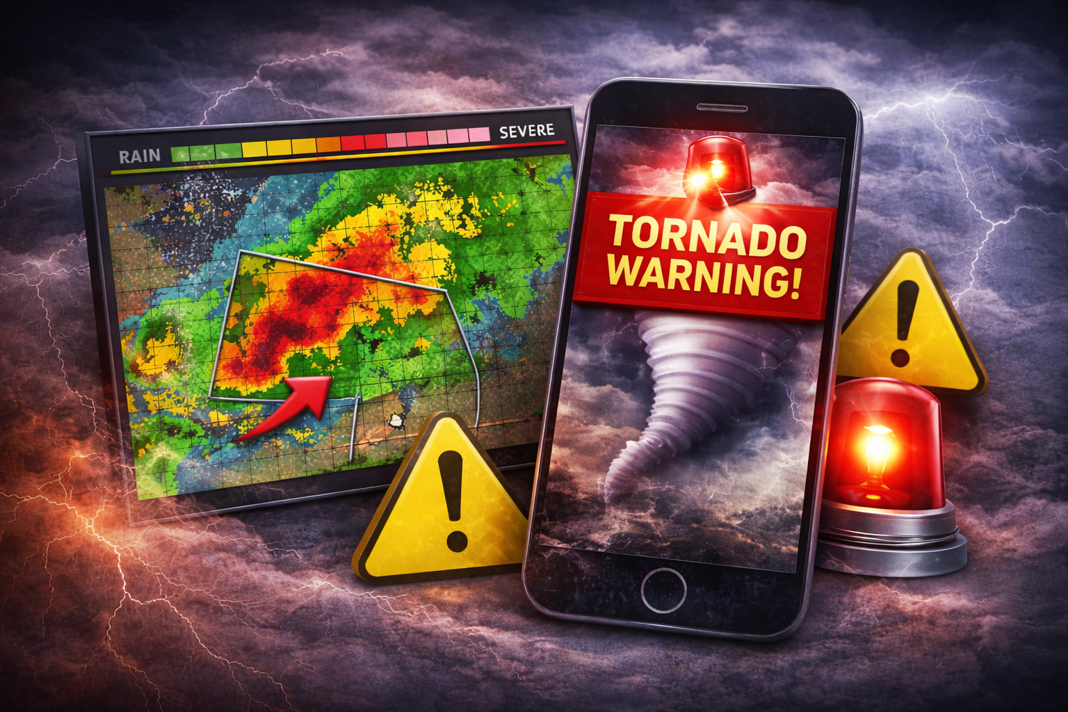
- Active Tornado Warning Nearby
- No Active Tornado Warnings
All watches and warnings shown originate from official National Weather Service issuances.
What Storm Mode Does Not Do
Storm Mode does not:
For life-safety decisions, users should always rely on official NWS alerts and local authorities.
Why Storm Mode Exists
Storm Mode was created to provide clear, calm situational awareness during severe weather events.
Many homeowners struggle to interpret raw weather information. Storm Mode organizes official data into a simple, understandable view that supports informed preparedness decisions — including shelter planning — without creating fear or urgency.
Data Sources & Updates
Storm Mode uses publicly available data from:
- The National Weather Service (NWS)
- NOAA-affiliated severe weather reporting systems
- Third-party radar services that aggregate official sources
Update behavior:
- Radar imagery updates continuously based on provider availability
- Watches and warnings update as issued or expired by the NWS
- Data timing may vary slightly due to provider latency
Known Limitations
While Storm Mode uses official data, users should be aware:
- Radar imagery may be delayed by several minutes
- Warning polygons may change as storms evolve
- Location accuracy depends on device permissions or ZIP input
- Data availability may be temporarily impacted during major events
Storm Mode prioritizes clarity over speed or speculation.
Disclaimer: This tracker is provided for informational purposes only. It does not provide forecasts, warnings, or emergency instructions. Always follow official guidance from the National Weather Service and local emergency management authorities.

Steadfast Storm Shelters provides FEMA- and ICC-compliant tornado shelters and safe rooms engineered for EF-5 protection. Veteran-family owned and proudly serving Alabama, Tennessee, Kentucky, Mississippi, and Arkansas.

Text for Quote
Usually replies fast